Cycling Routes >Seiryu IWA - IWA Ride

Get the data for this course!
-

-

-
Navi data for garmin (GPX)
Use the route navigation by downloading to your cycle computer.

-
Navi data for other cycle computers (GPX)
Use the route navigation by downloading to your cycle computer.
- Intermediate
- Iwami Area
- Distance130.2km
- Altitude Gain821m
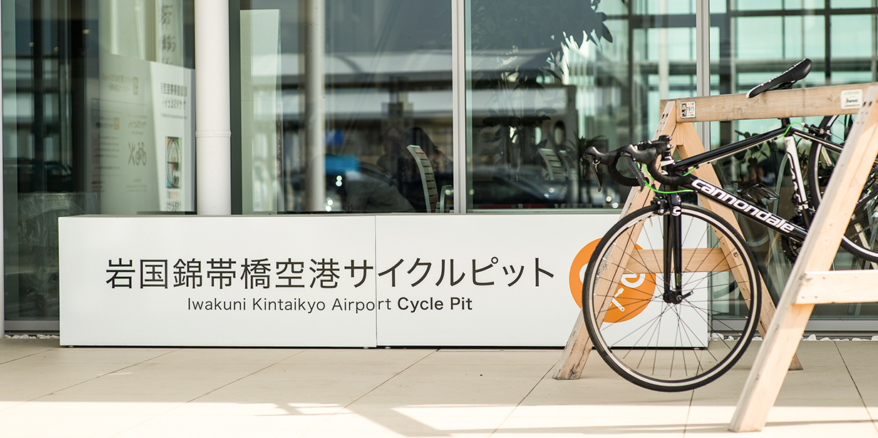
Iwakuni Kintaikyo AirportAsahimachi 3chome 15-1, Iwakuni City, Yamaguchi PrefectureHagi Iwami AirportUchidacho イ 597, Masuda City, Shimane Prefecture
Parking by the start
Course map
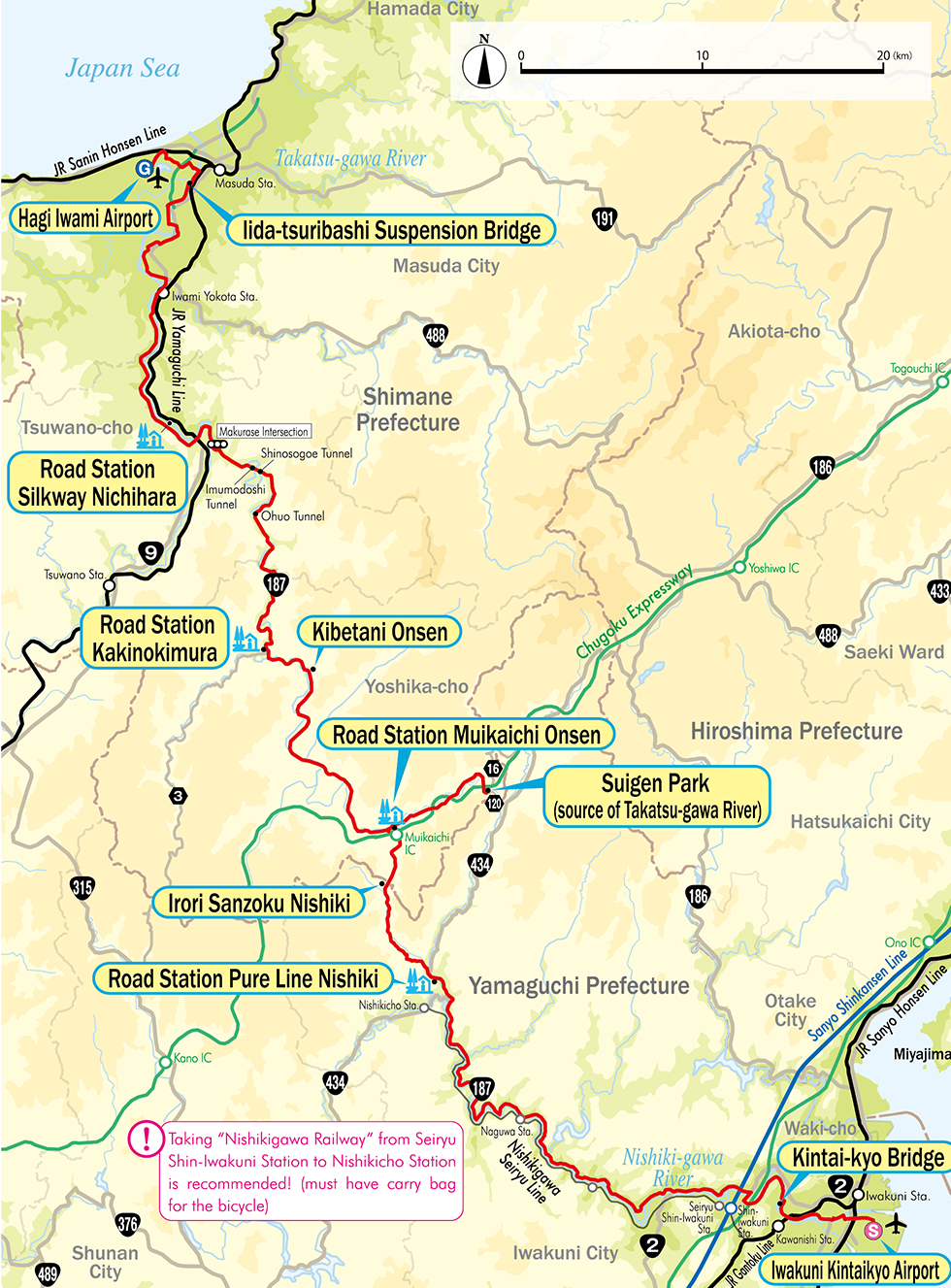
Google My Map
Information about recommended spots along the route can be found by clicking the icons on the map. Also, the current location can be checked by clicking the “Enlarged map display” button on the upper right of the map on your smart phone.
Relive
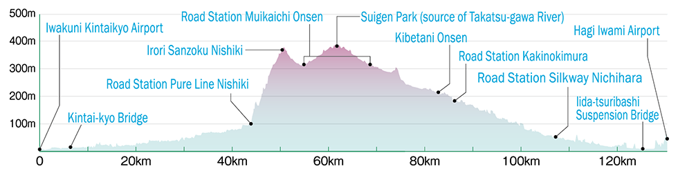
Able to check the altitude difference and distance between the points of the route.
-
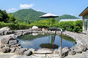 Road Station Muikaichi OnsenExternal Link
 -
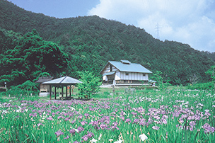 Source of Takatsu-gawa River and Yoshikacho Suigen ParkExternal Link
 -
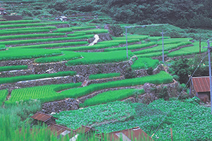 Oidani Terraced Rice FieldExternal Link
 -
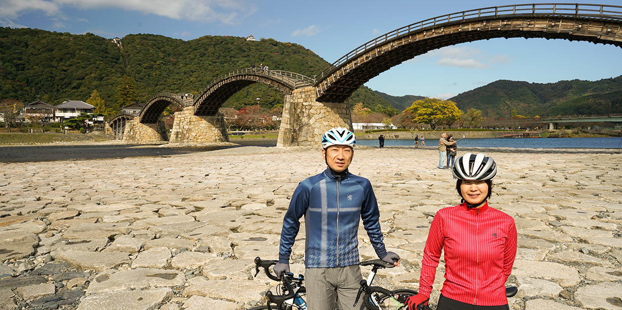
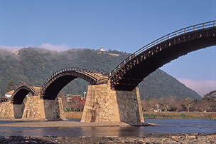 Kintai-kyo BridgeExternal Link
 -
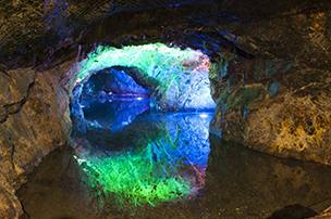 Under Ground Kingdom Mikawa Mu ValleyExternal Link
 -
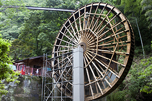 Kannon Water Wheel Dekamaru-kunExternal Link
▼For more information about the course▼

▼Cyclist support by telephone▼
NPO Cyclist View Office 0852-21-3920
