
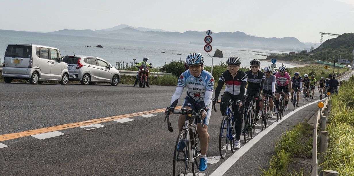
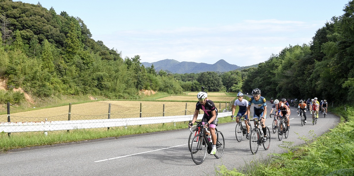
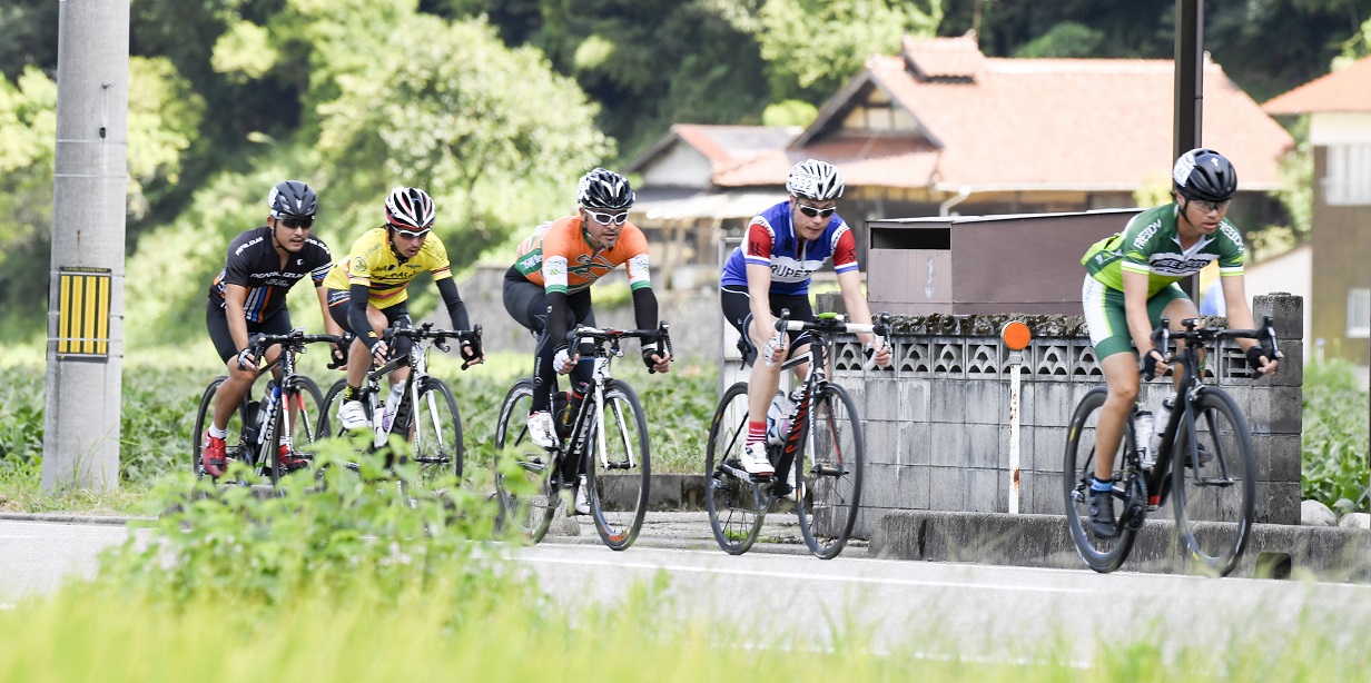
Cycling Routes >Enjoy Masuda Course
Get the data for this course!
-

-

-
Navi data for garmin (GPX)
Use the route navigation by downloading to your cycle computer.

-
Navi data for other cycle computers (GPX)
Use the route navigation by downloading to your cycle computer.
- Advanced
- Iwami Area
- Distance101.3km
- Altitude Gain1,172m
Masuda City HallTokiwacho 1-1, Masuda City, Shimane Prefecture
Parking by the start
Course map
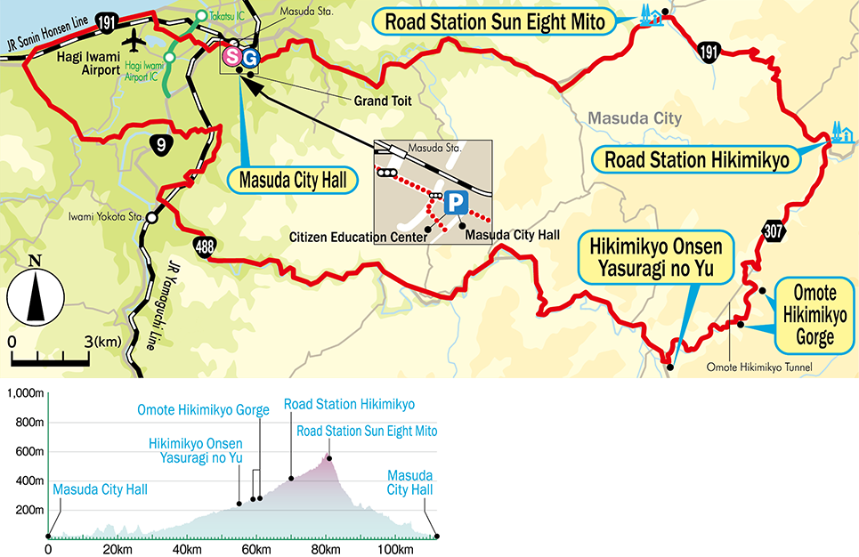
Google My Map
Information about recommended spots along the route can be found by clicking the icons on the map. Also, the current location can be checked by clicking the “Enlarged map display” button on the upper right of the map on your smart phone.
Relive
Able to check the altitude difference and distance between the points of the route.
-
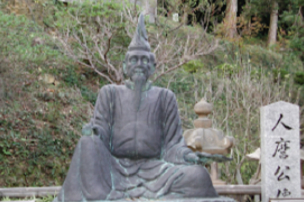 Takatsu Kakimoto-jinja ShrineExternal Link
 -
 Hikimikyo Onsen Yasuragi no YuExternal Link
 -
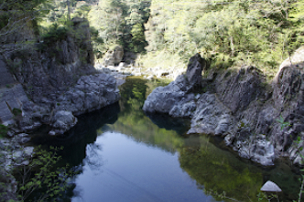 Omote HikimikyoExternal Link
 -
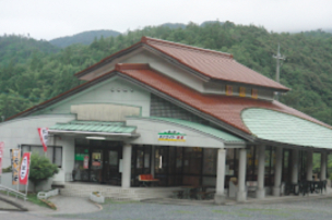
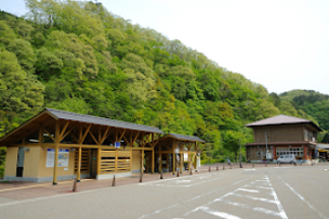 Road Station HikimikyoExternal Link
 -
 Road Station Sun Eight MitoExternal Link
 -
 Grand ToitExternal Link
▼For more information about the course▼


▼Cyclist support by telephone▼
NPO Cyclist View Office 0852-21-3920
