Cycling Routes >Nishinoshima (Nishinoshima-cho) Course
Get the data for this course!
-

-

-
Navi data for garmin (GPX)
Use the route navigation by downloading to your cycle computer.

-
Navi data for other cycle computers (GPX)
Use the route navigation by downloading to your cycle computer.
- Intermediate
- Oki Area
- Distance30.3km
- Altitude Gain659m
Beppu PortMita 4386-3, Nishinoshima-cho, Oki-gun, Shimane Prefecture
Parking by the start
Course map
Google My Map
Information about recommended spots along the route can be found by clicking the icons on the map. Also, the current location can be checked by clicking the “Enlarged map display” button on the upper right of the map on your smart phone.
Relive
Able to check the altitude difference and distance between the points of the route.
-
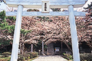 Kuroki-gosho Hekifu-kan MuseumExternal Link
 -
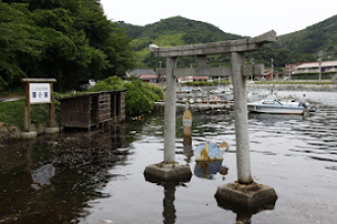 Yurahime-jinja ShrineExternal Link
 -
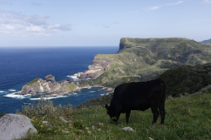 Akao LookoutExternal Link
 -
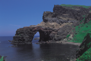 Tsutenkyo ArchExternal Link
▼For more information about the course▼

▼Cyclist support by telephone▼
NPO Cyclist View Office 0852-21-3920
