Cycling Routes > Cooling Down Waterfall Course
Get the data for this course!
-

-

-
Navi data for garmin (GPX)
Use the route navigation by downloading to your cycle computer.

-
Navi data for other cycle computers (GPX)
Use the route navigation by downloading to your cycle computer.
- Beginner
- Izumo Area
- Distance26.1km
- Altitude Gain442m
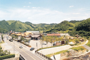
Road Station Kakeya no SatoKakeya 1800-2, Kakeyacho, Unnan City, Shimane Prefecture
Parking by the start
Course map
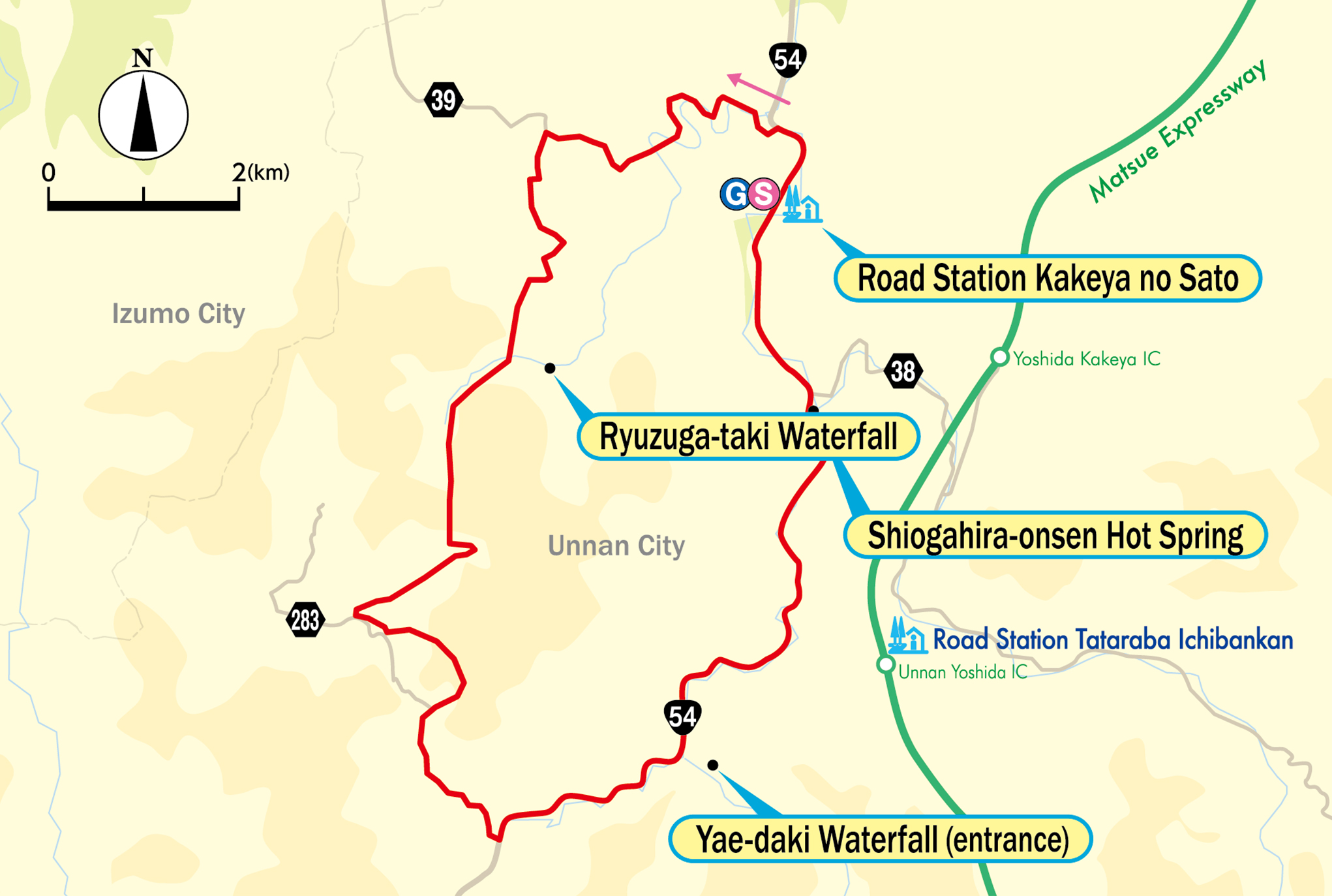
Google My Map
Information about recommended spots along the route can be found by clicking the icons on the map. Also, the current location can be checked by clicking the “Enlarged map display” button on the upper right of the map on your smart phone.
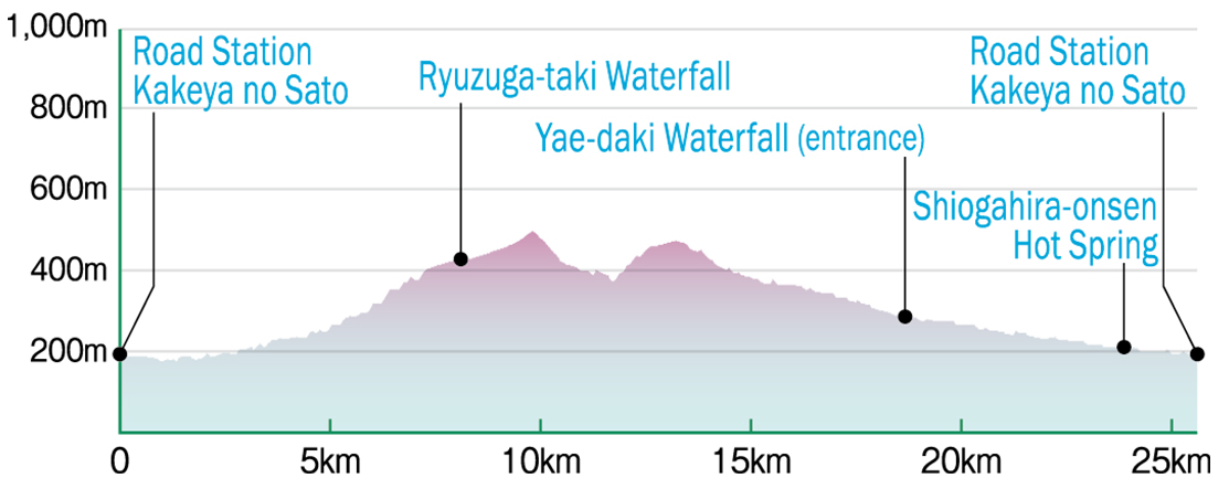
Relive
Able to check the altitude difference and distance between the points of the route.
-
 Road Station Kakeya no SatoExternal Link
 -
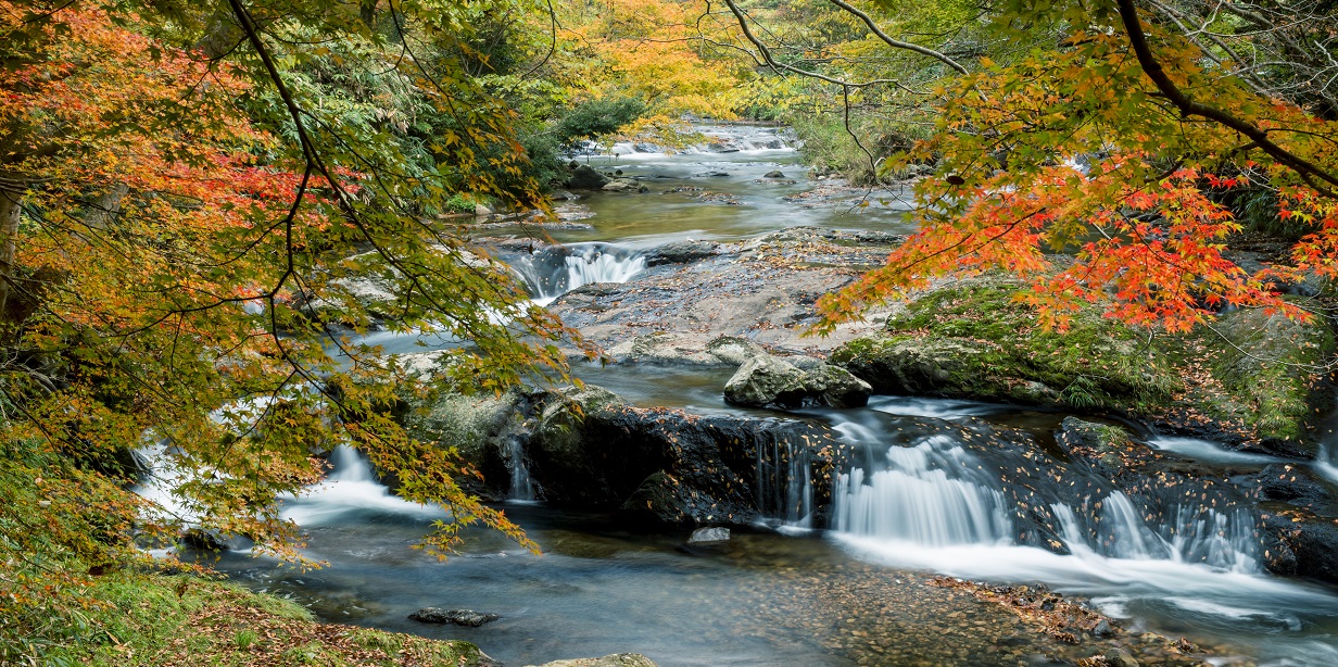
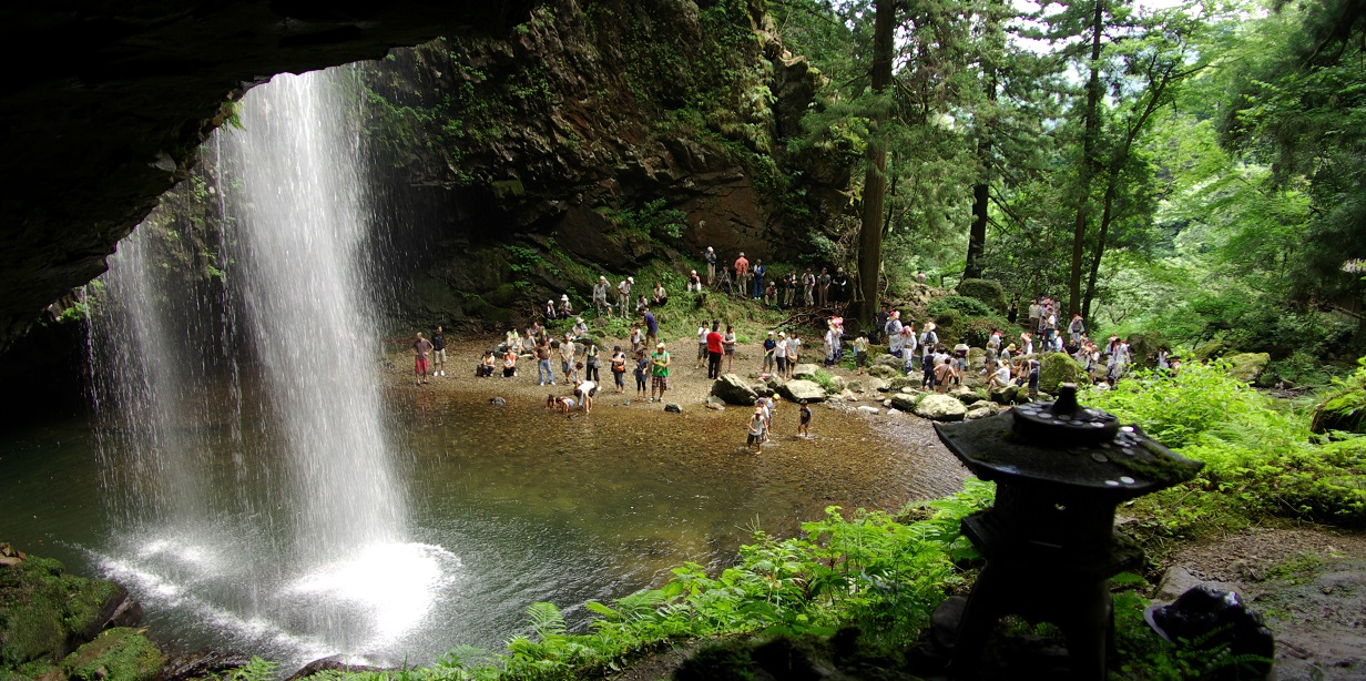
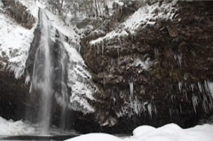 Ryuzuga-taki WaterfallExternal Link
 -
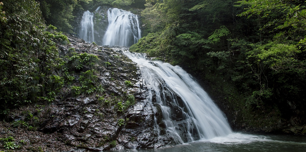
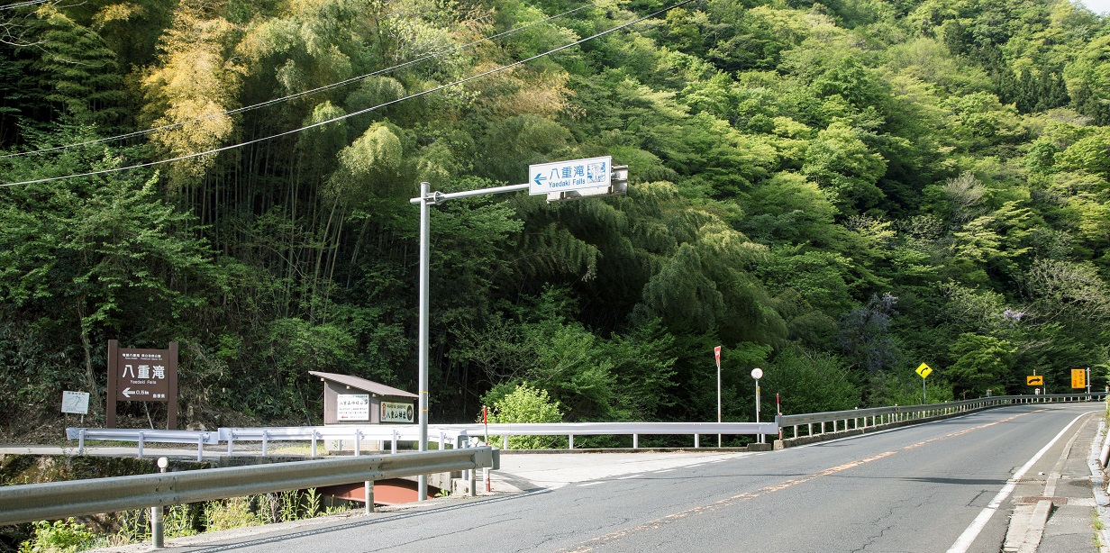
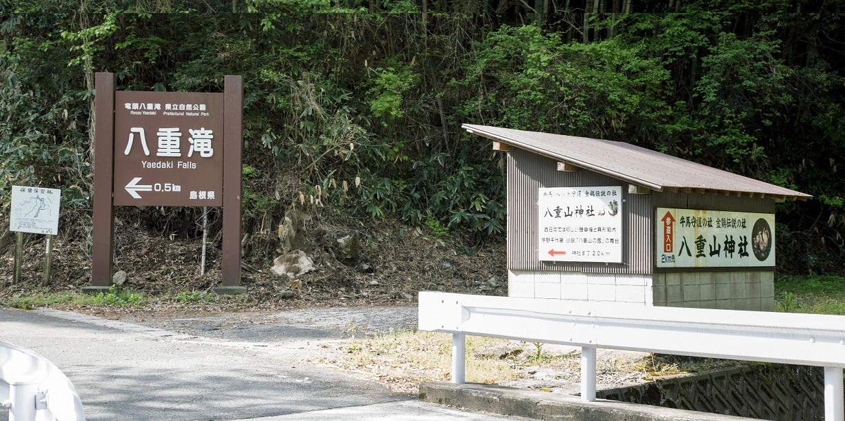
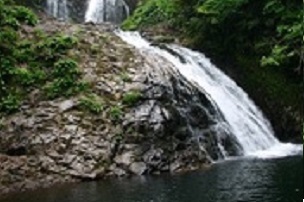 Yae-daki WaterfallExternal Link
 -
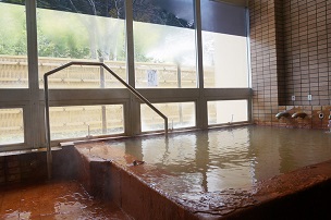 Shiogahira-onsen Hot SpringExternal Link
▼For more information about the course▼

▼Cyclist support by telephone▼
NPO Cyclist View Office 0852-21-3920
