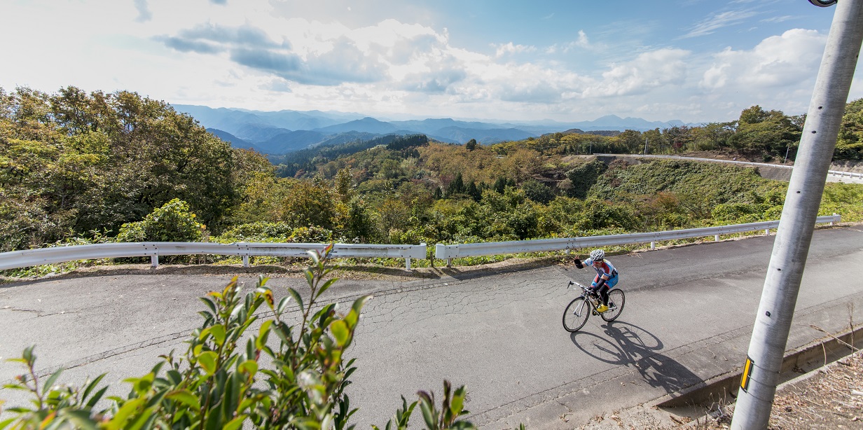
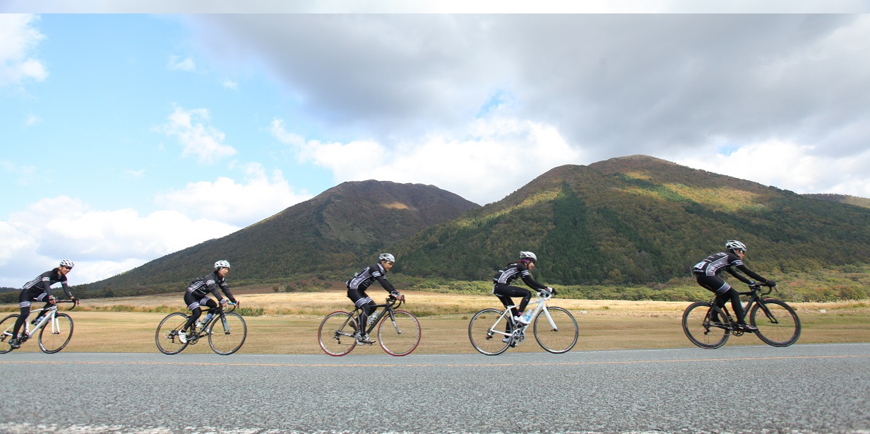
Cycling Routes >Mt. Sanbe Course
Get the data for this course!
-

-

-
Navi data for garmin (GPX)
Use the route navigation by downloading to your cycle computer.

-
Navi data for other cycle computers (GPX)
Use the route navigation by downloading to your cycle computer.
- Advanced
- Iwami Area
- Distance55.9km
- Altitude Gain970m
Road Station Akagi KogenShimoakana 880-3, Iinan-cho, iishi-gun, Shimane Prefecture
Parking by the start
Course map
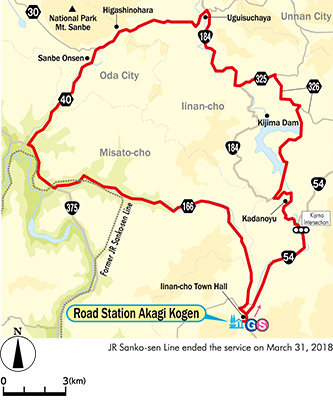
Google My Map
Information about recommended spots along the route can be found by clicking the icons on the map. Also, the current location can be checked by clicking the “Enlarged map display” button on the upper right of the map on your smart phone.
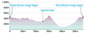
Relive
Able to check the altitude difference and distance between the points of the route.
-
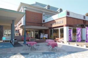 Road Station Akagi KogenExternal Link
 -
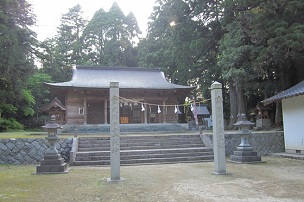 Akana Hachimangu ShrineExternal Link
 -
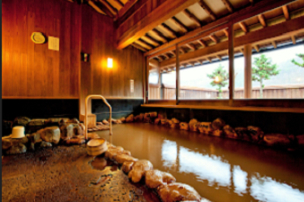 KadanoyuExternal Link
 -
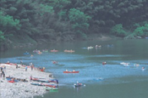 Canoe no Sato OchiExternal Link
 -
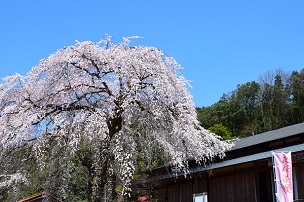 Furusato Ochi Heritage MuseumExternal Link
▼For more information about the course▼


▼Cyclist support by telephone▼
NPO Cyclist View Office 0852-21-3920
