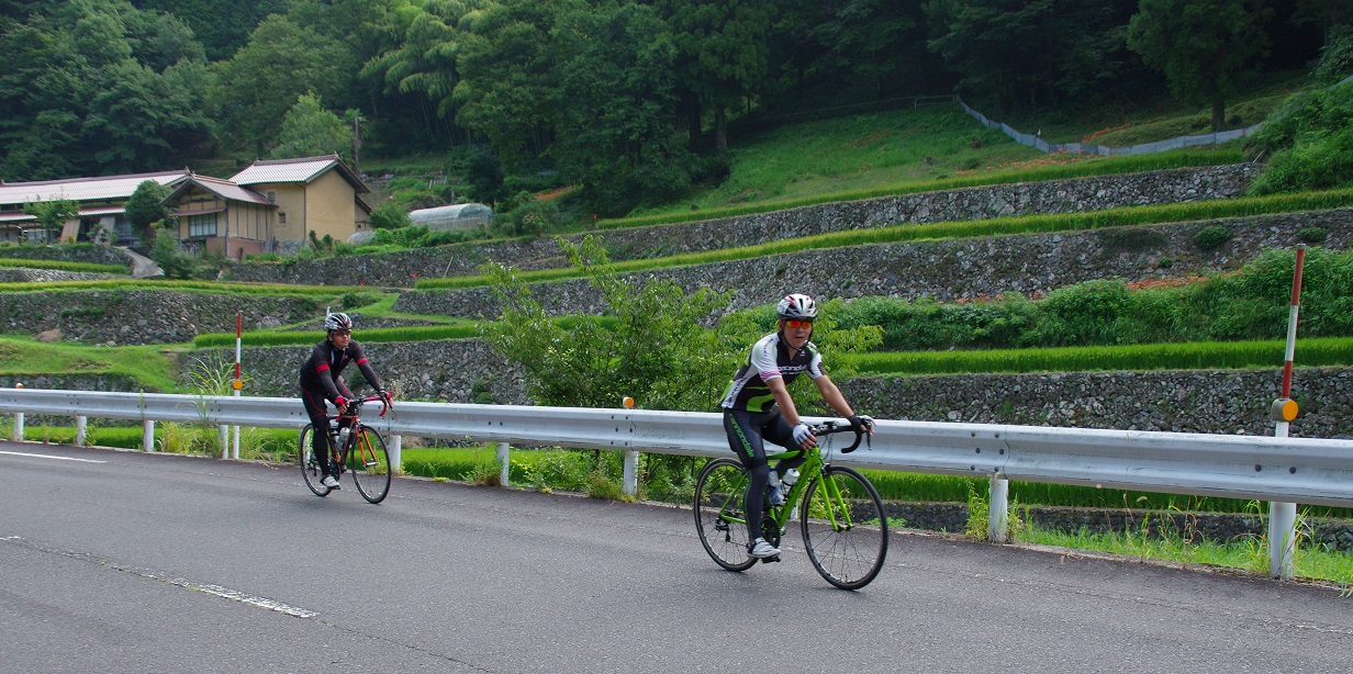
Cycling Routes >Yamanami Kaido Cycling Road
Get the data for this course!
-

-

-
Navi data for garmin (GPX)
Use the route navigation by downloading to your cycle computer.

-
Navi data for other cycle computers (GPX)
Use the route navigation by downloading to your cycle computer.
- Advanced
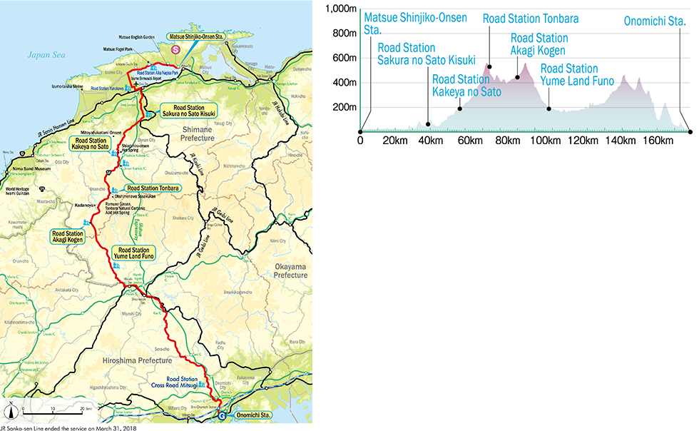
- Izumo Area
- Distance187.8km
- Altitude Gain1,829m
Ichibata Electric Railway Matsue Shinjiko-Onsen StationNakabaracho 30-2, Matsue City, Shimane PrefectureJR Sanyo Line Onomichi StationHigashigoshocho 1-1, Onomichi City, Hiroshima Prefecture
Parking by the start
Course map
Google My Map
Information about recommended spots along the route can be found by clicking the icons on the map. Also, the current location can be checked by clicking the “Enlarged map display” button on the upper right of the map on your smart phone.
Relive
Able to check the altitude difference and distance between the points of the route.
YouTube
-
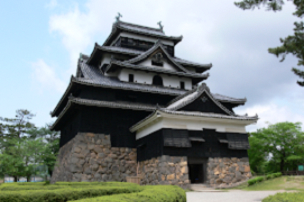 Matsue Castle National TreasureExternal Link
 -
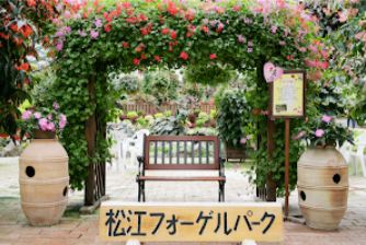 Matsue Vogel ParkExternal Link
 -
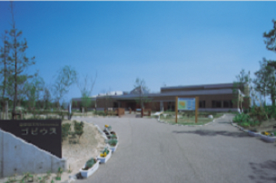 Shinjiko Shizenkan GobiusExternal Link
 -
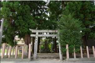 Eight CedarsExternal Link
 -
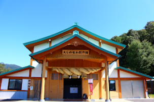 Ohshimenawa SosakukanExternal Link
 -
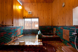 Tonbara Natural Carbonated Hot Spring Ramune GinsenExternal Link
▼For more information about the course▼


▼Cyclist support by telephone▼
NPO Cyclist View Office 0852-21-3920
